Tuesday, September 29, 2015

Up to town.

Another chilly night, another misty morning. But not quite so chilly, nor quite so misty today.

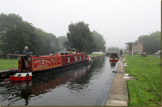
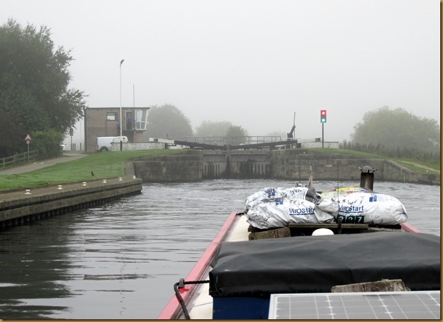
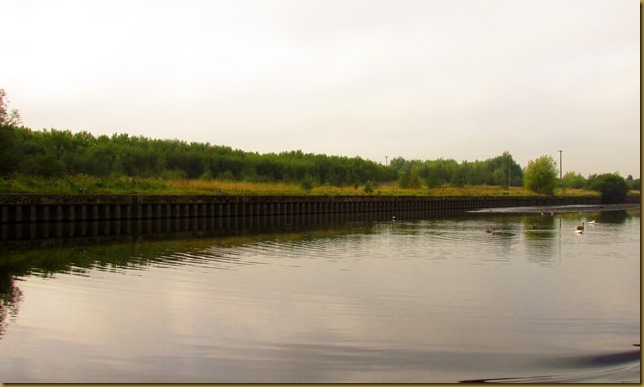
Lemonroyd Weir this morning
IMG_7479

We got off a little earlier today. I wanted to arrive at Leeds Lock at lunchtime to give us the best shot at a mooring in Clarence Dock. So it was 09:30 when we set off towards Woodlesford and our first lock, about a mile upstream.

Disused oil terminal at Fleet Bridge
IMG_7481

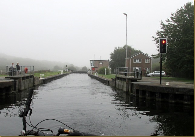
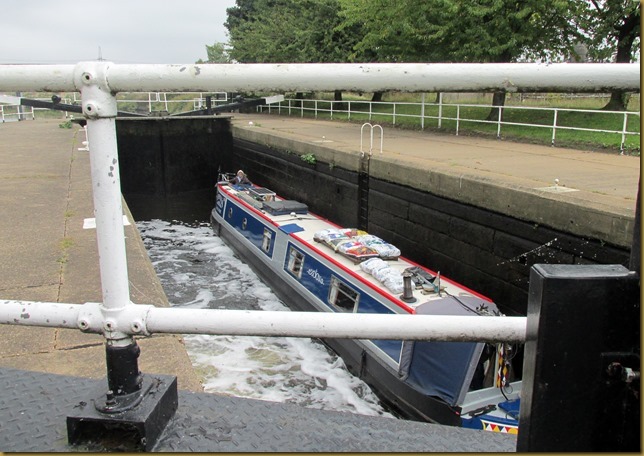
Woodlesford Lock is very pretty, and popular with a car park alongside. The keeper here won the Best Kept Lock and Bridge Award in 2000 and something. And it’s still well kept now.IMG_7485

We were just getting ready to leave the lock when another couple of boats turned up. You can’t remove your key from the control panel until the gates are shut and paddles closed, so the standard procedure is to swap keys.IMG_7487

There are good moorings above the lock.IMG_7492

And an elephant in the bushes.
IMG_7491

Fishpond Lock was next, the locks coming a bit closer together now as we approach Leeds. I was pleased to see the warning lights in operation, indicating a keeper in residence.IMG_7494

Our ascent was rather quicker than when the locks are on boater operation!IMG_7495
The lock house, on the right, is for sale. It comes with about 1½ acres of land and is valued at £335,000.
The house is nothing special, but, as they say, location is everything!

We had time for a brew before Knostrop Falls Lock, about 2½ miles of very pleasant cruising. IMG_7496

The concrete bowstring bridge is called, pragmatically, Concrete Bridge.IMG_7497
Beyond is the newer bridge carrying the A1/M1 Link road.

We’re approaching Leeds now, a long length of commercial-sized moorings on the right mark the waiting area for boats delivering to and from the Yorkshire Copper Works and Vulcan Foundry on the opposite side of the navigation.IMG_7499

IMG_7500
Both works have now been demolished.

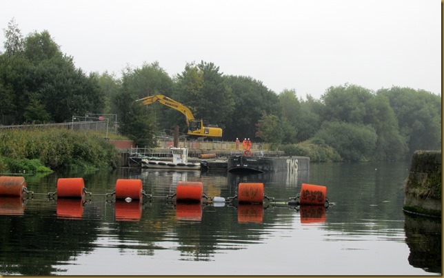
The canal at Knostrop Falls Lock is right alongside the river, and a lot of bank improvements are going on there. I think it’s for this reason that there was a lockie on here as well. They wouldn’t want unnecessary pedestrians wandering about!IMG_7506

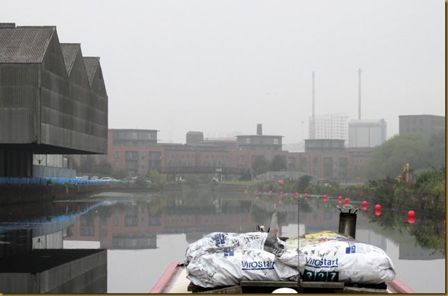
In fact we rejoined the river just above the main lock at the single-gated Knostrop Falls Flood Lock.
IMG_7508

IMG_7511

From here to Leeds Lock is only around a mile, passing the sanitary station pontoon on the way. We pulled in here to empty a loo tank before heading around the corner to the lock.

Orange light – DIY this time.IMG_7516

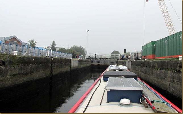
The large barge locks are behind us now. This last river lock will only take boats up to about 65 feet long unless the downstream extension is used.IMG_7517

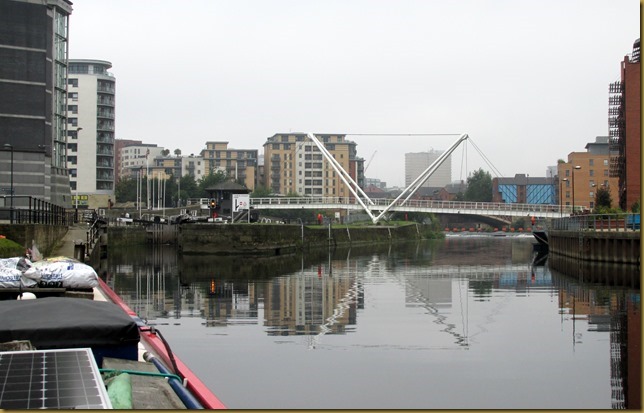
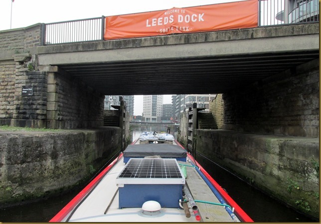
A sharp left immediately after the lock takes you under the bridge…IMG_7519

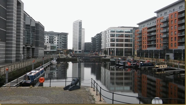
… and into Clarence DockIMG_7520
Lots of space on the visitor moorings on the left, although they’ve filled up now.

That’s us settled for two nights.20150929_124141
We’ve friends coming tomorrow, a visit to the Royal Armouries Museum right alongside is on the cards.

Hi Steve. Hey, that’s a fine boating pedigree!

Locks 4, miles 6

Monday, September 28, 2015

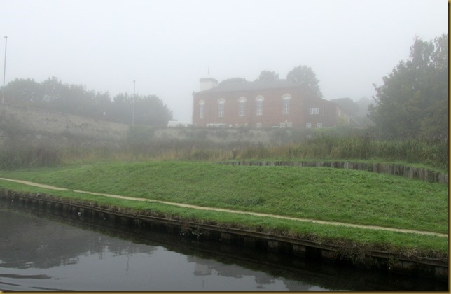
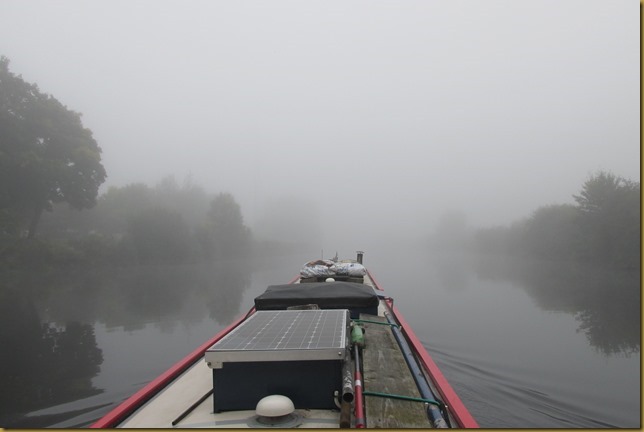
Another misty morning…

We’re in one of those autumnal high-pressure weather patterns that give us clear, cool nights, misty mornings and fine, sunny afternoons. Don’t get me wrong, I‘m not complaining!

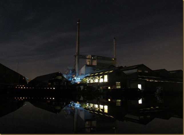
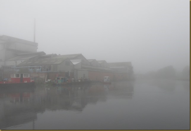
Looking across to the glass factory last night. IMG_7423
Unfortunately they work 24/7 and the fans are quite noisy! Still, you don’t notice them after a while…

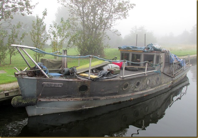
We were moored in front of this old boat…IMG_7424I wonder what she started life as? Fine lines…

The mist hadn’t made any effort to clear by the time we pulled pins and set off towards Castleford.
IMG_7425

I’d rung C&RT to see if there was an update on the the stoppage at Castleford Lock, but apparently there wasn’t. But we thought we’d toddle on up there anyway.

It’s quite a pleasant cruise through Knottingley, especially now you don’t have to keep an eye out for large commercial boats on the bends!
Some of the cleared industrial sites on the canalside are now parkland.IMG_7428

King’s Mill.
IMG_7430

There has been a mill here since medieval times, utilising the fast stream of the River Aire as it splits around Willow Island just the other side of the present buildings. Until the Knottingley Cut was dug during the construction of the Aire and Calder Navigation, the mill owners controlled the water levels, often refusing passage for boats through the flash lock to preserve water stocks for their machinery. Of course, the coming of the canal was a god-send. Water for power on one side, water for transport on the other.

Coming out of Knottingley there’s a straight section ending at Ferrybridge Flood Lock, through which the navigation regains the river. With the low river levels I expected the lock to be open at both ends, but it was difficult to tell…IMG_7432

It was, and we emerged out onto the river. If anything it was even foggier here!IMG_7435

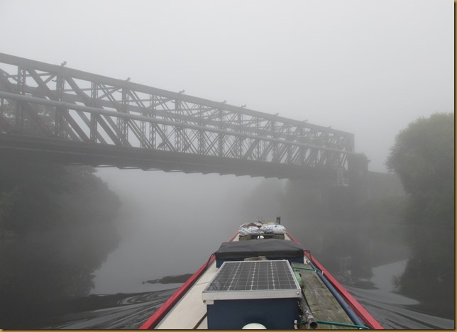
Bridges loomed out of the mist…IMG_7436

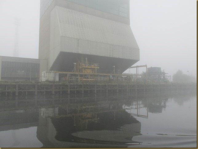
The coal wharf for Ferrybridge C power station, purpose built to unload “Tom Puddings”, trains of dumb barges from Kellingley Colliery.
IMG_7441

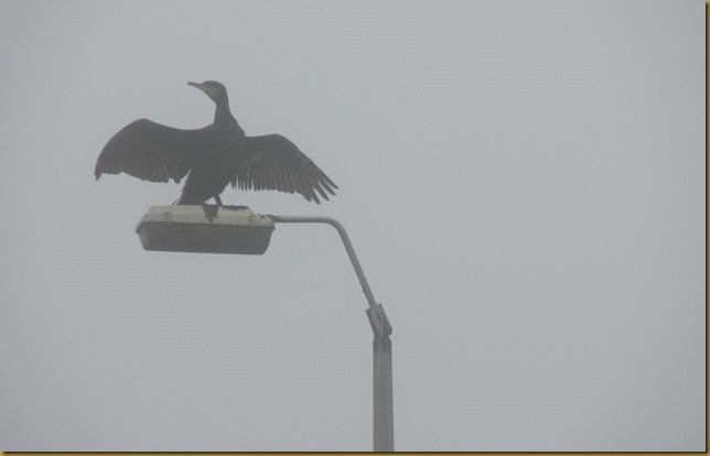
Now abandoned but for the cormorants drying their wings.IMG_7443

We weren’t alone on the river after all!
IMG_7447

As we approached the end of the river section and Bulholme Lock the mist finally started to lift. IMG_7452
Lots of vehicles about but no lock-keeper. Boater operation indicated by the amber light.

Mags in Bulholme Lock
IMG_7454

I checked my emails as we left the lock (useful, these smartphones) and was pleased to see that the stoppage at Castleford had been lifted, so on we went.

Castleford, like Ferrybridge, is a flood lock, so I wasn’t surprised to see it open at both ends too.IMG_7458
I wonder why the stoppage was applied in the first place? We saw no sign of any problems. Nor repairs, come to that.

Out onto Castleford Junction.
IMG_7460
The Calder and Hebble is to the left, the Aire and Calder (our route) ahead.

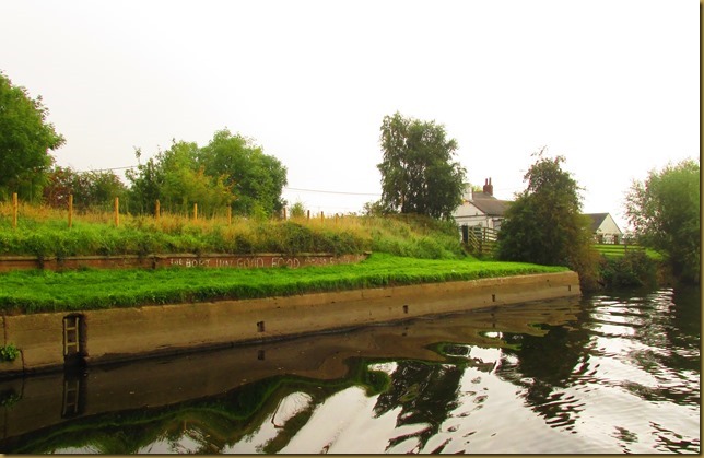
Unusual for the river, good moorings next to The Boat Inn at Allerton Bywater.IMG_7463
A little high for narrowboat decks, but if you’re desperate for a pint…

North of Mickletown there’s a wharf, presumably to service a colliery or gravel pit as the access road to it from the village is called Pit Lane. IMG_7465

It’s not been used for a while, though…IMG_7466

This river section ends at the very deep but delightfully named Lemonroyd Lock.IMG_7471

Following a disastrous breach during flooding in 1988 which destroyed the navigable channel as well as flooding the adjacent open-cast mine, the line of the canal was moved to the west and the two locks here replaced by one. Hence Lemonroyd Lock is 13½ feet deep…IMG_7473
It takes a while to fill, too.

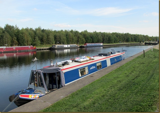
There are good, open moorings above the lock, and this is where we pulled in for the night.

Moored above Lemonroyd Lock
IMG_7474
Incidently, “royd” is Norse for an area cleared of trees to allow a settlement to be built. Although the “Lemon” bit must be a corruption. It’s unlikely that lemon trees were felled here…

Tomorrow into Leeds, fingers crossed for a mooring in Clarence Dock. Should be another good day…IMG_7475

Locks 2 (I’m not counting the two flood locks), miles 10

Sunday, September 27, 2015

Following the Aire valley

The River Aire has long been navigable, in the 17th century boats were regular visitors to Knottingley, following the tidal river from it’s confluence with the Ouse at Airmyn. But local tradesmen were keen to see the navigation continued upstream to Leeds, and also wanted a link to Wakefield. Both were burgeoning industrial towns, desperate for the life-blood of manufacturing – coal.

After several failed attempts a Bill passed parliament to improve the rivers Aire and Calder, and by 1704 both rivers were navigable, the Aire up through Castleford to Leeds, and the Calder from Castleford to Wakefield. The Aire and Calder Navigation was immediately profitable, and improvements were made to improve the depth of water, and the Selby Canal was authorised to make an easier route to the Ouse than the lower Aire.

Selby became an important port, shipbuilding and wharfage and associated industries expanded.
But the section of the Aire from Knottingley to West Haddesley and the Selby Canal was still a problem, twisty and prone to flooding. So a proposal to develop Goole as an inland port, linked by a new canal from Knottingley, was accepted and implemented by 1826. Although an agreement was reached to maintain the Selby Canal as part of the scheme, inevitably it fell into decline and Selby lost it’s main source of income, as shipping started using the new docks at Goole.

The latest improvements saw the size of the locks increased to accommodate Euro-barges, 200 x 20 feet and capable of carrying 600 tonnes of cargo.
There is now no commercial traffic on the navigation, following the cessation of the oil tanker trade between Rotherham and Goole.

It was a misty morning when we set off through West Haddesley Lock and out onto the Aire.
IMG_7405

Mags swinging round to pick me up below the lock20150927_103011
Passage through the lock was a doodle. With the river very low only the lower gates were closed, and they had one paddle raised to feed water into the canal. So I just had to open one gate and Mags steamed straight through onto the river.

The trip upriver to Knottingley was uneventful, we stopped above Beal Lock to fill with water and so I could wash one side of the roof. Before we left this morning I'd sorted out those coal bags, spreading the contents out into a couple of spare bags and stapling them up. Inevitably there was some spillage, and the roof was decorated with coal-dust coloured footprints.

Approaching Beal LockIMG_7408

We had to wait at Bank Dole Lock; a cruiser had passed us at Beal while we were filling the tank and he was only just going in the lock when we arrived. So it took a while before we were up and through onto the Aire and Calder Navigation.

Bank Dole Lock
IMG_7414

We’d hoped to get to Ferrybridge by half-one, in time for me to watch the Japanese Grand Prix, but it was this time when we reached Knottingley Junction. So we pulled in here instead. Last time we stopped on the “island” but today we pulled in on the main line opposite the junction.

Moored at KnottingleyIMG_7417
The day was beautiful by this time…

The wide expanse of water opposite the entrance to the route down to Goole (on the right) was to allow the large barges to make the turn, and I certainly wouldn’t have moored here if they’d still been about!

Our next stop should be Lemonroyd Lock tomorrow, but it’s looks like that’s out. There’s a problem with the lock at Castleford Junction, so we may as well stay here till we get an update. We’d planned to be in Clarence Dock on Tuesday for a visit to the Royal Armouries Museum on Wednesday. Might have to reschedule…

Hi Carol. No, not fairy lights - that's her halo! I think it's a reflection from the candles..

Locks 3, miles 6½

Saturday, September 26, 2015

Away we go again, heading west.

Mags had an appointment with her doctor for her annual check-up yesterday afternoon, a follow-up from the nurse’s visit a fortnight ago. Everything’s fine, so she’s good to go for the next 12 months. We hired a car from the conveniently-placed Enterprise branch, just down the road from Selby canal basin, leaving at around 10 and getting over to Ingleton for a brew with son Howard at around noon. Then George and Margaret joined the three of us for lunch at the Craven Heifer Inn. The appointment was at 14:40 but the doc was running late so it was half-three by the time we were done.

Not wanting to get hooked up in Friday evening traffic we toddled back over to Ingleton from the Bentham health centre to have a cup of tea with grand-daughter Melanie and two of her girls (they’re young women now, really), leaving at just after 6 o’clock. Another 2 hour drive saw us back at the Selby, in time for Mags to watch the soaps on +1.
Cracking quote from Corrie's David Platt after Kylie whacked obnoxious Callum with a stilson wrench. They’re going to dump him in the canal – “How many bricks does it take to weigh down a drug dealer? Shall I Google it?” Magic.

Having had a large lunch neither of us wanted more than a sandwich, but we had to try a slice of another birthday cake, baked for Mags by Nickie, another of Mags’ array of grand-children.

Another Happy Birthday Margaret!
20150925_204630

So this morning it was an early trip up to the shops while we still had wheels, then car back, untie and get under way.

Mags brings Seyella through the swing bridge just above Selby BasinIMG_7376
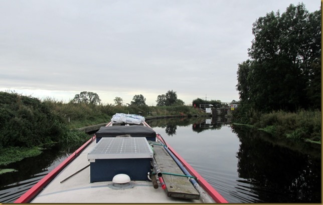
It’s quite a busy bridge, this. But being a Saturday morning we only held up half a dozen cars, sundry pedestrians and a handful of cyclists… 

Between a pair of those flood-defence wells that allow water to pass under the canal.IMG_7379

The untidy pile of white bags on the roof is a quarter ton of smokeless fuel. Being in a good spot for a delivery I’d rung around the local coal merchants and arranged a delivery of 10 bags of Excel for the very reasonable price of £85. What he didn’t tell me was that the bags wouldn’t be sealed… So they’re stacked a little haphazardly to prevent the contents from spilling and rolling around on the roof. I’ve yet to sort them out.

Good moorings next to Burn Bridge.IMG_7384
A bit noisy though from the busy road passing over the bridge, and less attractive now that the pub is boarded up!

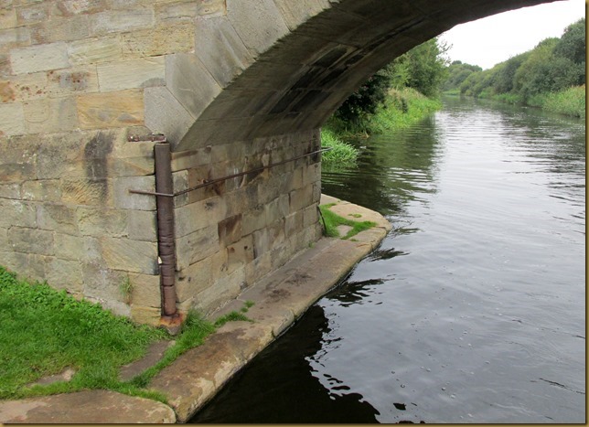
The original bridges are a mellow sandstone, with the towpath running through on a narrow ledge with a handrail.
IMG_7385

IMG_7387
This one’s still got it’s rope roller to protect the stonework from boat ropes, but how they got the horses along that narrow step is beyond me!
There is an alternative route over the end of the bridge so maybe they took the horse over that and hooked him up again on the other side. They’d have to, wouldn’t they?

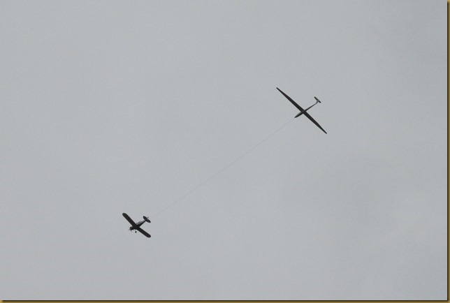
Although it was a grey morning it didn’t deter the local glider club…IMG_7392

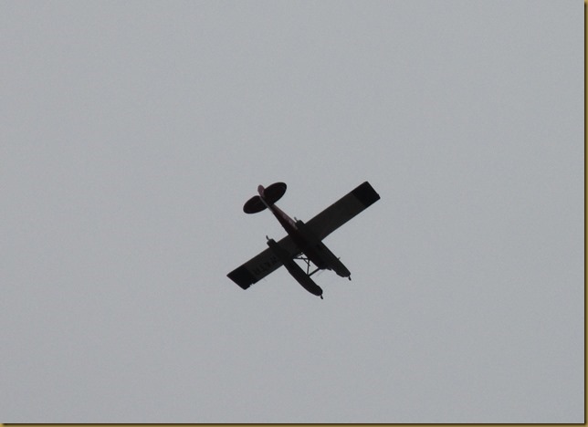
…nor a float plane heading off somewhere.IMG_7394

We pulled in on the moorings above the lock at West Haddesley, at the River Aire end of the canal. No point in rushing about at this stage.

West HaddesleyIMG_7395

There are four routes open to us to rejoin the main network in the Midlands. We could retrace our route up the Trent to Nottingham and the Trent and Mersey, or head west from Castleford to pick up the Rochdale or Huddersfield Canals. But we’ve decided to have a gentle cruise over the top via the Leeds and Liverpool Canal. It’s six years since we last went that way. Should be fun.

Locks 0, miles 5¼