Saturday, November 30, 2013

A walk into the future?

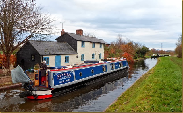
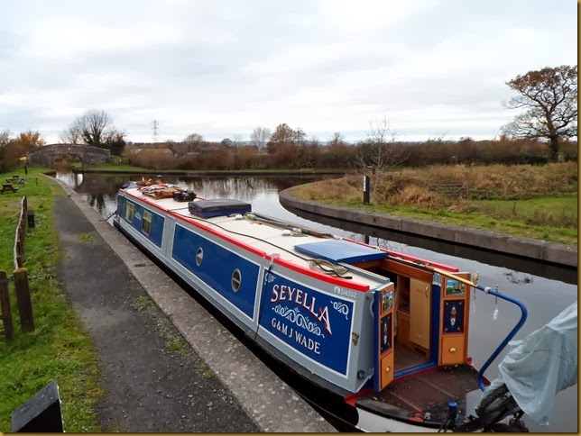
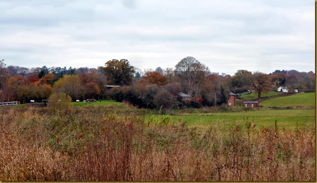
Yesterday we moved down to the end of the navigation, at Gronwyn Wharf, where we turned around and retraced our route to Maesbury Marsh.

We didn’t get going till mid afternoon, it was blowing a hooley in the morning but had eased a bit after lunch.

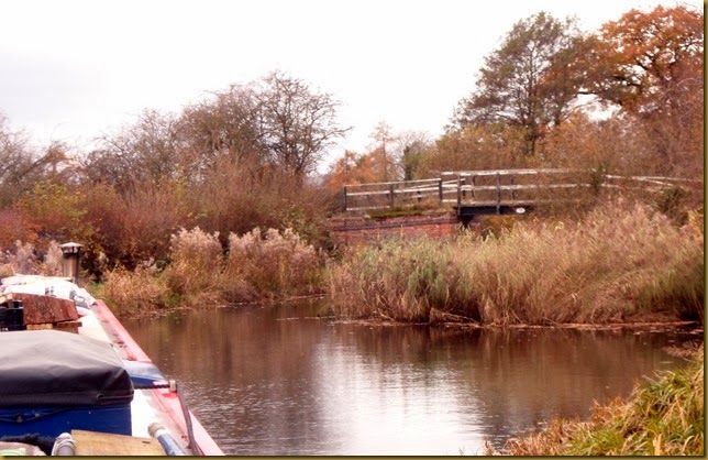
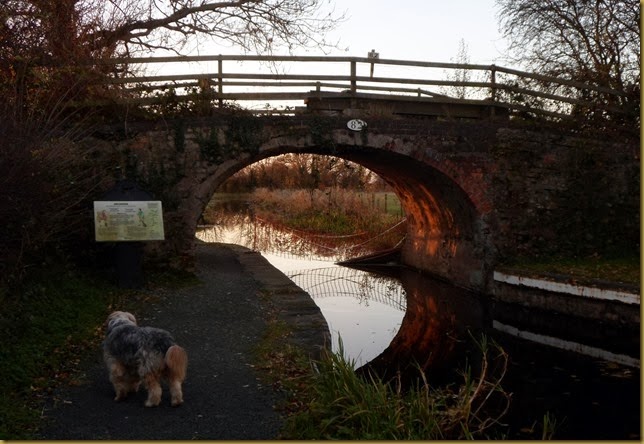
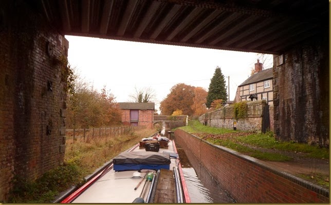
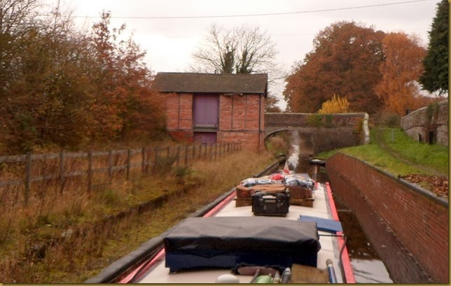
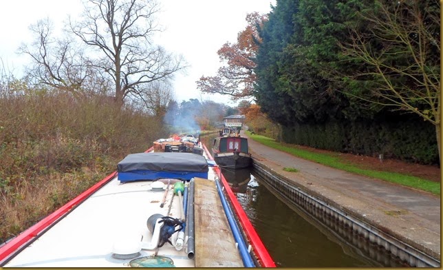
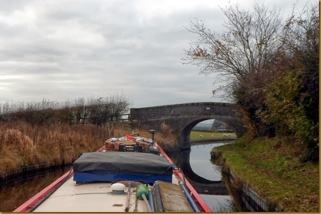
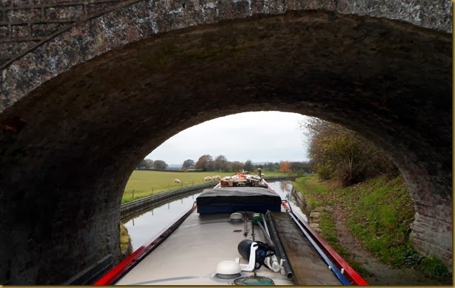
The approach to Park Mill Bridge is almost obscured by reedsSAM_7309

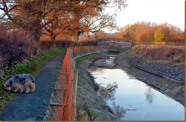
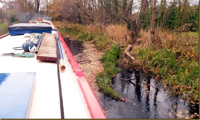
Beyond the bridge the canal is narrow, shallow and clogged with autumn leaves, making progress slow with frequent “chucking back” to clear the prop.

The odd blown down tree didn’t help, either.
SAM_7311
Hmm, might have that on the way back….

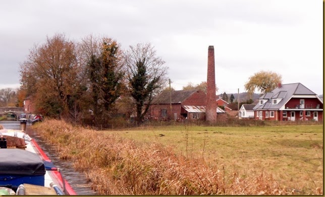
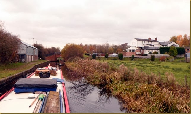
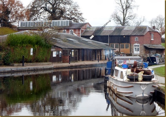
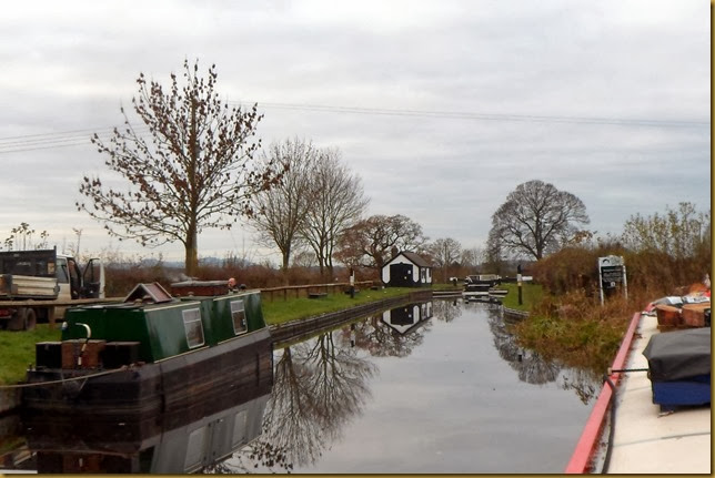
Maesbury Marsh sits alongside the canal, and developed to take advantage of it. There’s the chimney of a redundant bone meal and glue factory, and the Navigation Inn was originally canal-side warehousing/

Approaching Maesbury MarshSAM_7312

SAM_7316
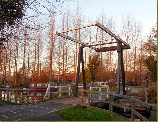
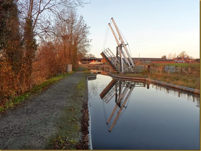
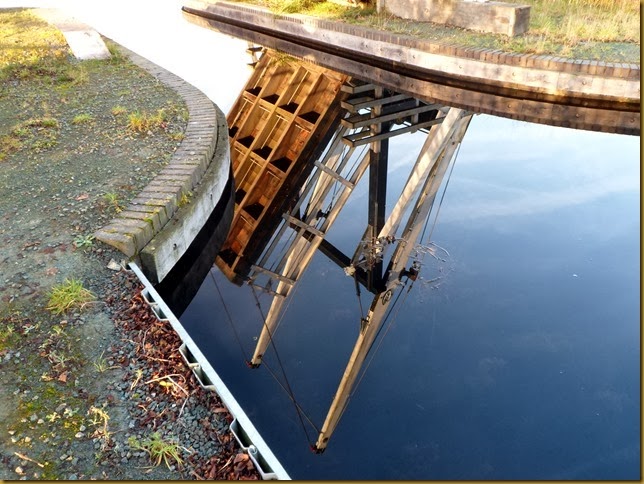
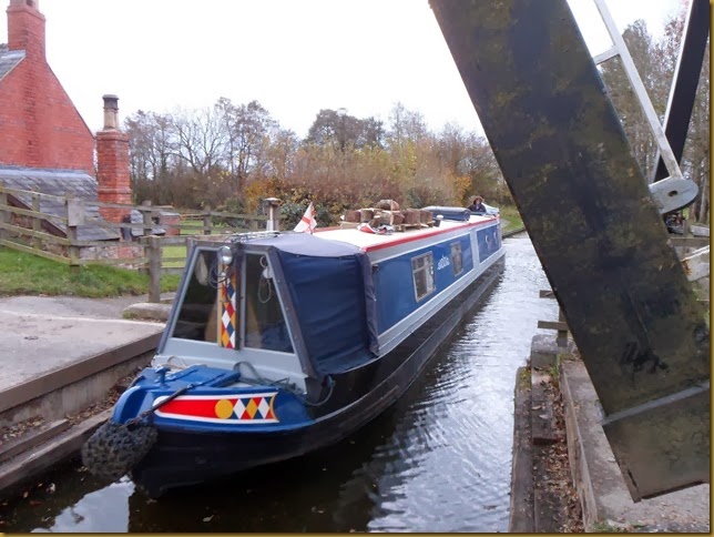
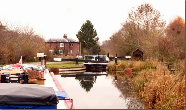
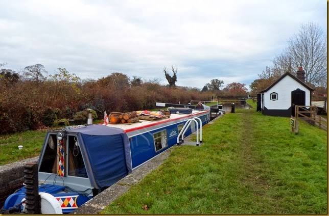
There’s a lift bridge which replaced the lowered canal bridge next to the Mill Arm. We had to do this twice, there’s no mooring opportunities between here and Gronwyn Bridge, the current end of the navigation.

Croft Mill Bridge

Oddly, the Mill Arm just alongside the bridge went to Peate’s Mill. I wonder what happened to Croft Mill.

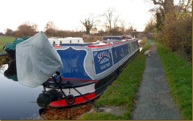
We turned around at Gronwyn Wharf, and returned to moor up near Canal Central, the shop/tea room/B&B near Spiggot’s Bridge.SAM_7317

And yes, unless anyone else has come down Frankton Locks since we left Weston on Thursday, we are the only visiting boat down here at the moment!

This morning, bright but chilly, Meg and I set off to inspect the work in progress beyond Gronwyn Bridge.

Croft Mill Bridge…SAM_7320

…and the Mill Arm, now used for moorings
SAM_7321

Gronwyn Bridge, end of the line for now.SAM_7323

The canal is in water from here to Redwith Bridge, but there’s no winding hole to turn around so it’s not open for navigation yet.

There’s a new lift bridge for farm access before Redwith BridgeSAM_7326

I wonder how low it’ll be before visiting boats break the placid surface?SAM_7348

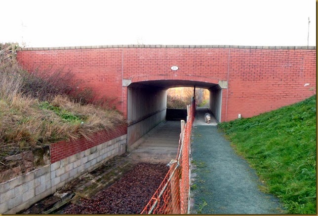
Redwith bridge had to be rebuilt to allow headroom for boats, it had been lowered for safety while the canal was derelict. There’s an earth dam at the bridge keeping the water out of the next section.
SAM_7327


SAM_7328

There’s a ¼ mile stretch now that’s been lined with a waterproof membrane, then paved with concrete blocks for protection. The profile is saucer-shaped, much as it would have been originally.SAM_7332

SAM_7331


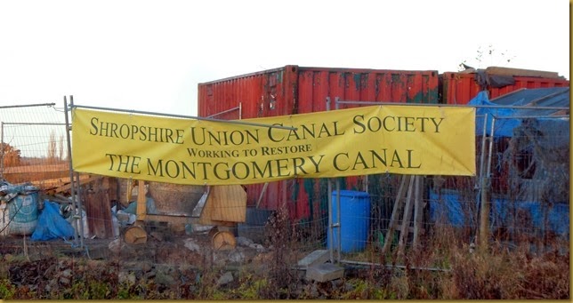
….Since 1968. Lots more info on the website

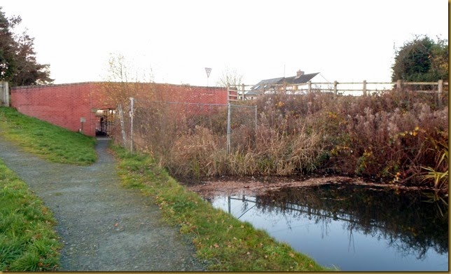
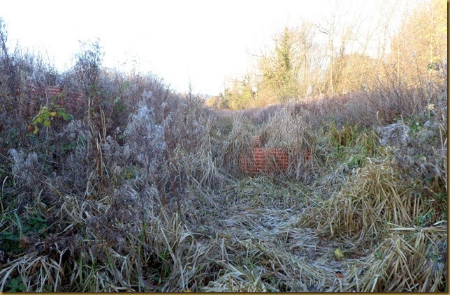
SAM_7334At Pryles Bridge the channel, although lined in the past, has become overgrown with reeds and grasses.


Standing in the canal bed.
SAM_7335
Overnight frost still lingers in the shade.

This afternoon we had a short walk up the Mill Arm, round to the old millpond.

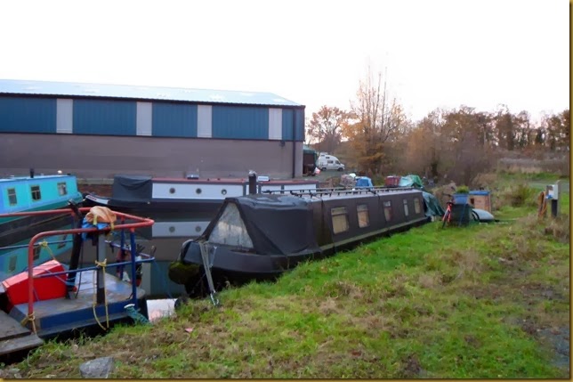
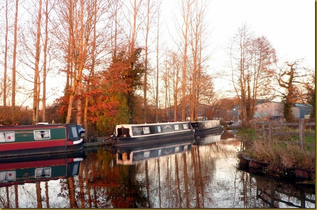
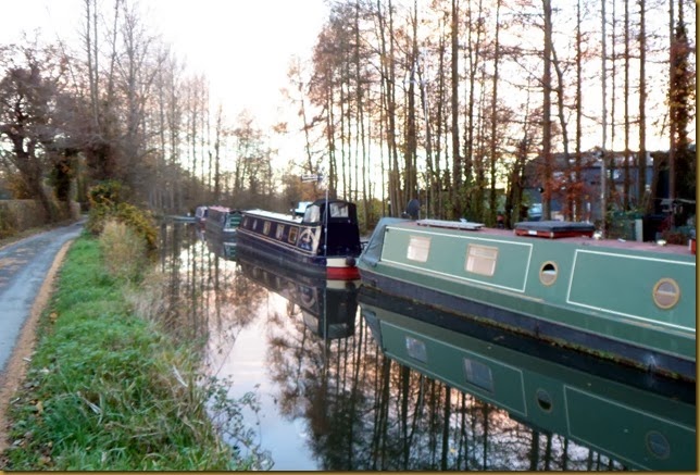
Moorings on the arm….
SAM_7355

….and in the basin at the endSAM_7360

SAM_7358
The millpond

The mill was originally water-powered, using water diverted from the Morda Brook. This same water is now used as a feeder for the canal.


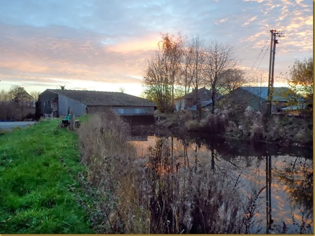
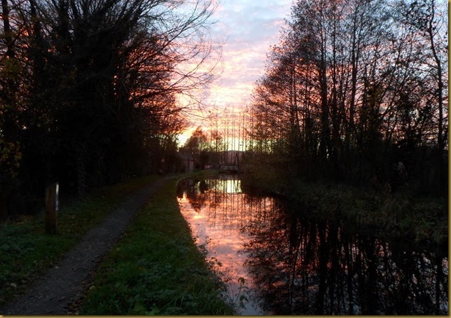
The sun was setting as we walked back to the boat.SAM_7361

SAM_7365
I’d had a quick chat with a local chap yesterday, as I walked the dog. I wanted to know if there was anywhere local to get a paper this morning.
Turns out that the nearest place is in Knockin, about 2½ miles away. I was prepared to get John Sage off his rack and cycle over there, but there was a knock on the side of the boat at half past nine, Rick (the local chap) offering me a lift to the shop. What a fine gesture.
More so because I suspect he made a special trip for me. He claimed the shop didn’t have what he wanted…

Did I say the shop is in Knockin? Understandably it’s called The Knockin Shop.Winking smile

Not sure if we’re moving on the return journey tomorrow, or staying another day. I failed to find St. Winifred’s Well yesterday, I might try again in the morning. I’ve got a better idea of it’s location now.

Locks 0, miles 1½
Thursday, November 28, 2013

A dull day but a close encounter!

Rain overnight, dry but grey this morning. Still very mild, though, for the end of November.

We filled with water and emptied the loos before we set off this morning, Graham Palmer Lock just 5 minutes away.

Graham Palmer Lock…SAM_7286

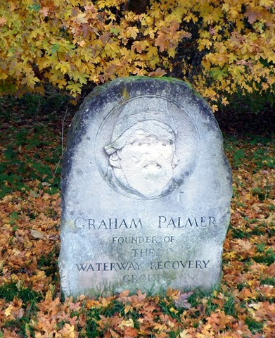
…and the man himself.
SAM_7285
Volunteers from The Waterway Recovery Group were instrumental in the reopening of this section of the canal. Graham Palmer was one of the founder members, and this new lock has been dedicated to him. It’s a pity some oik decided to deface the memorial stone…

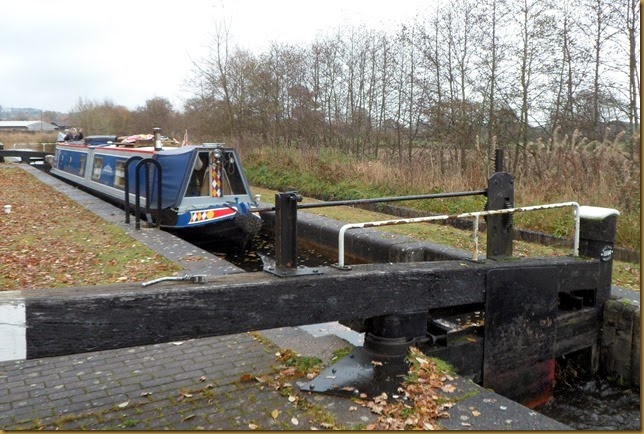
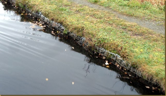
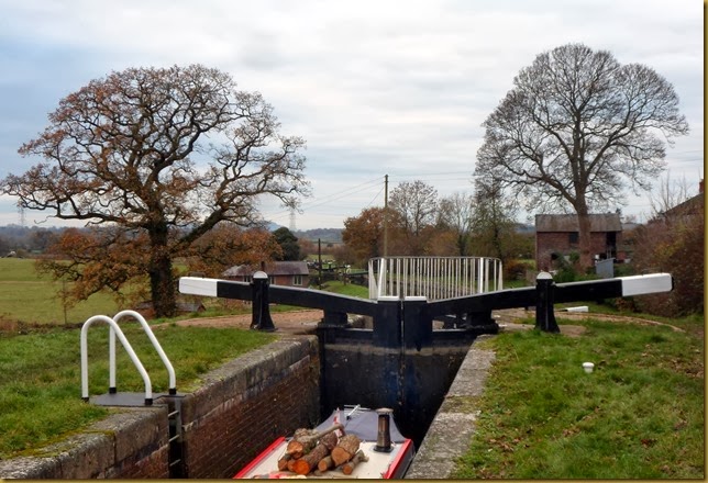
The lock only drops the canal about 18 inches, but made the restoration that much easier. The banks are reinforced with gabions, wire baskets filled with stone.
SAM_7288

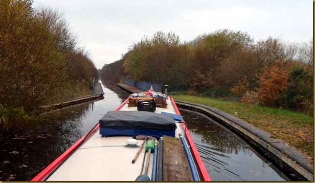
Perry Aqueduct marks the start of a straight, shallow embankment, with overhanging trees on the offside.

Perry AqueductSAM_7290

SAM_7291


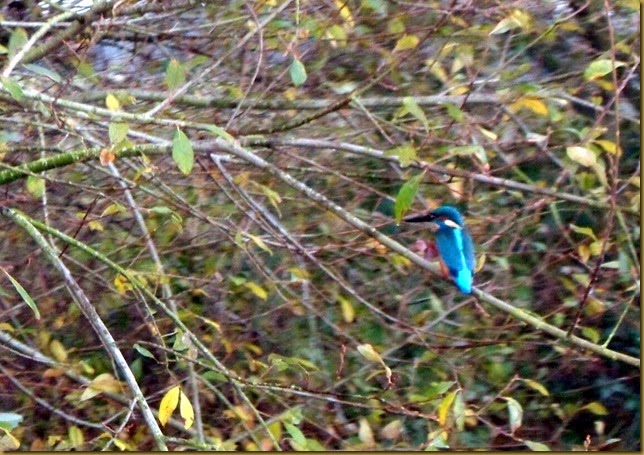
I’d just said to Mags that it looks like good kingfisher territory when….
I couldn’t believe it when he made no move to fly off till I was right alongside!
Still slightly off focus, but the best I’ve taken to date.


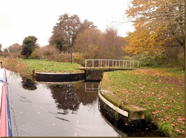
The entrance to Rednal Basin is crossed by a now fixed swing bridge. The basin itself is completely overgrown now. SAM_7293
The basin was built to service a bone works and transhipment wharf to the adjacent railway. The section to the basin is also known as the Bone Works Arm. Bone meal was used as a fertiliser.

The towpath swaps sides at Heath Houses, where the railway crosses as well as the roving bridge.

Heath Houses
SAM_7295

The building to the left was a passenger terminal for fly-boats operating between here and Newtown. The low bankside gave easy access to the boats.
SAM_7296

At Queens Head the busy A5 crosses over the canal, on it’s way from London to Holyhead. When I lived in Leicestershire this was my regular route to walking and climbing in Snowdonia. Queens Head made a useful point to break the journey.
In those days I didn’t have a car that was comfortable (or reliable) enough to do the 175 mile trip in one go…

Queens HeadSAM_7298
There are moorings here, on the left in the shadow of the building, but they’re alongside a fairly busy minor road. Anyway, having been out in the sticks for the last couple of nights, civilisation would come as a shock! So we decided to try for a mooring near the three Aston Locks.

Aston Top Lock, no chance of mooring above here.SAM_7299

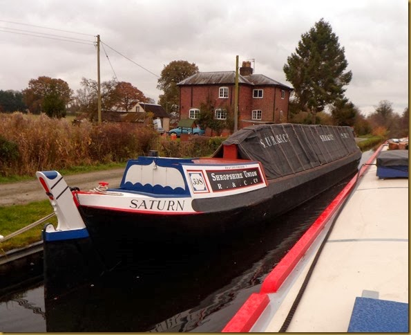
Restored horse boat Saturn is moored below the top lock
SAM_7302

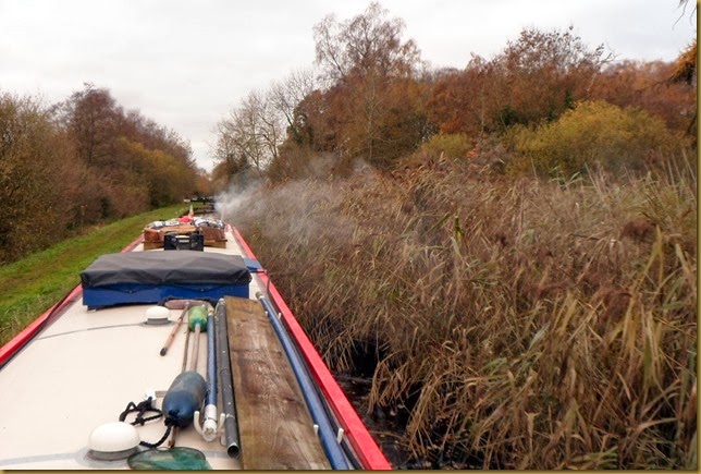
Between Locks 1 and 2 the channel is narrow, overgrown with reed banks on the offside.
SAM_7303

Below Lock 2 the banks are heavily wooded, so we dropped down the bottom lock.

Aston Lock 3SAM_7304

SAM_7305


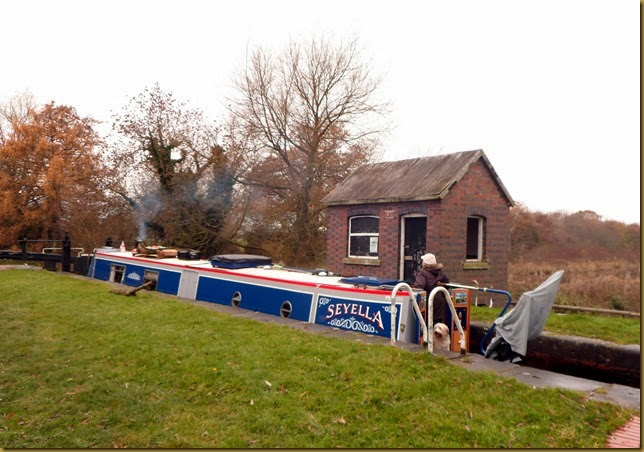
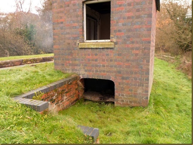
Beyond the canal is a nature reserve, created when the canal was restored. The lock-keepers hut has a basement, now flooded, probably with seepage from the lock.
I’m not sure of it’s function, the construction of the top frame doesn’t match those of the windows or door.


Mags waiting for me below the lock.SAM_7306

We tried unsuccessfully to get in below the lock landing, but did finally moor just before Park Mill Bridge. There’s a winding hole here, this was the limit of the restored navigation in 2000.

Once again we’ve not seen another boat today, I wonder if we’re the only visiting boat at the moment? We’ll find out tomorrow, as we’re going to the end of the navigable canal to have a look at the next leg.

Locks 4, miles 5

Wednesday, November 27, 2013

A day off.

Ha, I hear you say, it’s always a day off for you two. I know, and I couldn’t agree more. Good, eh.
What I mean is, we didn’t go anywhere today.

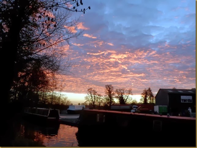
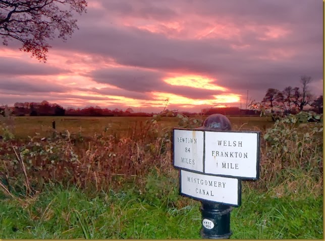
Last night's sunset
SAM_7272

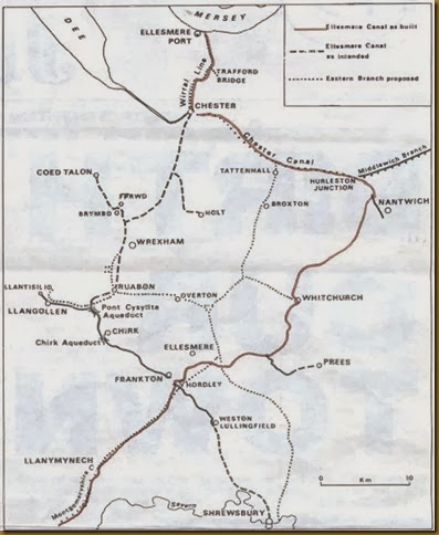
Following on from yesterday’s post rambling on about the Ellesmere Canal, here’s a map I’ve come across which might clarify what I was talking about….mapofcanal
Map from http://www.eportwarmemorial.org.uk/localhistory/ellesmereport/1790s/mapofcanal.jpg

Looking back at the Weston Arm from Lockgate Bridge.SAM_7284
The Arm is straight ahead, Frankton Locks and junction to the left and the canal to Maesbury beneath my feet. The flat area to the right was occupied by several buildings, a warehouse, lock-keepers and boat-builders houses, and even a tavern.

We’ll toddle on tomorrow, not quite sure how far though.

Locks 0, miles 0

Tuesday, November 26, 2013

On the Monty

I expected there to be a touch of ice on the water this morning, last night’s forecast was for around -4° in rural areas, and it was down to -1° when we went to bed. But the blanket of cloud that was due this morning must have arrived a little early, raising the temperature in the early hours.
It wouldn’t have been a problem out on the main canal, but we moved into the Ellesmere Arm on Saturday, easier access to the shops and easier for our visitors.

Leaving the Ellesmere Arm on a cool, grey morningSAM_7245

It’s a fine little town, is Ellesmere. We’ll be coming back, after we’ve had a brief sojourn down the Montgomery canal, to do some Christmas shopping.

Back onto the main lineSAM_7246
Apart from the usual sanitary facilities, there is a forge, workshop and dry dock here. Beech House, just off to the left of the picture, used to be the canal company offices.

It was three miles to Frankton Junction and the Montgomery Canal, a steady hour and a half. The canal has to hairpin around Val Hill at one point, giving extensive views to the south and east.

Long views at Val Hill
SAM_7257

There are three bridges on the tight turn, Val Hill Nos 1 and 3 are not so bad, but No 2 is unsighted from both directions.

Val Hill Bridge 2
SAM_7253

SAM_7254
I’m sure it makes for some interesting encounters during the season!

We arrived at the junction at soon after 11:00 for our midday booking, but the lockie turned up at the same time and said he’d send us straight down. There is a staircase pair at the top, then two individual chambers further down.

Just turned onto the MontySAM_7261
We’d intended to come here yesterday, but couldn’t pass up a chance to see Val and John.

Mags in the top chamber of the staircaseSAM_7262

Going down….SAM_7264

Heading for the bottom lock, Lock 4
SAM_7266
There was only us using the locks today, in fact the lockie thinks there’s only one or two boats down on the canal. Top and bottom locks on the short flight are padlocked when not in use. Not because they’re difficult or complicated and needing supervision, but because access to the canal is controlled. Only twelve boats at a time are allowed on the 7½ miles restored length to limit the impact on the flora and fauna. The canal is an SSSI, and objections from the conservationists had to be overcome before restoration to a navigable standard could commence.

We didn’t get far below the locks, pulling in on the short remaining stub of the Weston Branch.

Moored on the Weston Branch.SAM_7268

Looking back at the locks
SAM_7267

The branch used to go to Weston Lullingfields, a distance of about 6 miles. It seems an obscure destination for a branch, until you consider the history of the associated canals. In 1793 a plan was hatched to build a canal from the Mersey at what is now known as Ellesmere Port, connecting to the River Dee at Chester, then Wrexham, to the Severn at Shrewsbury. An extension to the south west was intended to connect to the copper mines at Llanymynech. A branch would also go to Ellesmere, Prees and Whitchurch.

The first, relatively straightforward section from the Mersey to Chester was completed in 1797, but the route via Wrexham was scrapped due to the cost of construction over difficult terrain.

As was common, various sections of the canal were constructed at the same time. The route from Frankton to Llanymynech was completed in 1796, and the “main line” from Trevor to Frankton in 1805, after the construction of formidable aqueducts at Pontcysyllte and Chirk. This  isolated waterway needed a source of water, which was initially intended to come in on the abandoned route north of Trevor. So a navigable channel was built to the River Dee at Llangollen.

While all this messing about was going on, other canal companies had been busy with their own projects. The Shrewsbury canal network was being built, making it unnecessary now to link to the town, and the Montgomeryshire Canal had connected the end of the Llanymynech Branch to Newton. The Ellesmere Canal still needed an outlet to the Dee, so the decision was made to make a connection with the earlier Chester Canal at Hurleston. Branches or arms would connect with Ellesmere, Prees and Whitchurch.

This is what we have now; what is now know as the Llangollen Canal from Hurleston to Llangollen, with branches to Whitchurch (now mainly lost), Prees (it never got there), and Ellesmere (success!). And a junction with what we now call the Montgomery Canal at Frankton. So what we’re sitting on now, far from being a minor stub on a minor canal, is in fact the main line of the Ellesmere Canal, an ambitious waterway linking three great rivers. Phew! Complicated, init!

Hi Jacquie, we've been here before, about 4 years ago. Looking forward to revisiting.

No ice yet Carol! Yes, Mags did convalesce with Val and John last year. We owe them a lot.
I see Still Rockin' is coming on nicely!

Locks 4, miles 3½