Sunday, September 10, 2017

End of the line.

Yesterday we moved on from near Marple, through three of the four moveable bridges at this end of the canal, mooring up past New Mills.

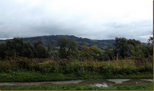
Fine views across to the east towards Derbyshire.DSCF1096

Turf Lea Lift Bridge
DSCF1098

Passing Disley on the right, the view opens up again, looking over towards Kinder Scout and the southern end of the Dark Peak.DSCF1103
That was one of my old stamping grounds when I lived near Leicester. The Peak District is comprised of two distinct geographies, the White Peak to the south, consisting of picturesque limestone dales and splashing streams around Buxton, and the Dark Peak, brooding peat-bog topped moorlands north of Edale. Caving in the White Peak and walking in the Dark took up most weekends.

We’d managed to get through the three bridges in the dry, although the clouds were building. Mags had gone back inside when the rain finally started as we came through the woods before New Mills.
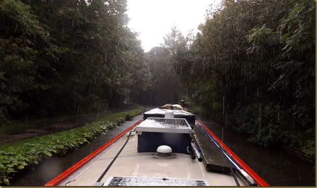
DSCF1105

New Mills, Bridge 28 and the Swizzels Matlows factory.DSCF1107

By the time we’d left the town the rain had eased, then the sun came out just before we tied up.
DSCF1108

With more sun than showers the afternoon was quite pleasant, and it stayed clear overnight. I had a dry run first thing, a quick breakfast and Meg had a short walk before we set off towards Bugsworth this morning.
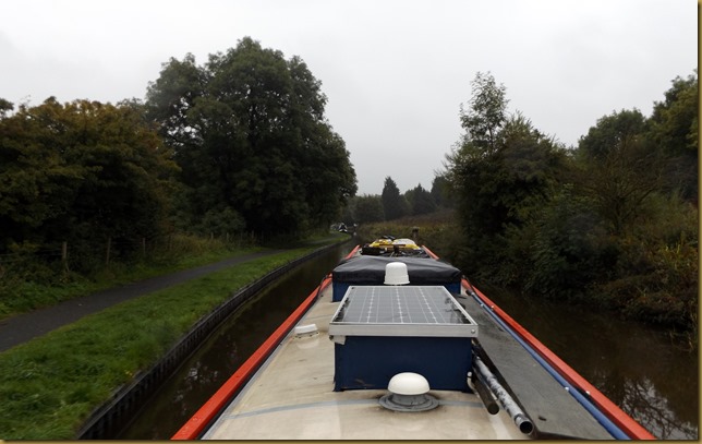
DSCF1110

We were off early despite the drizzle that had started to fall because we wanted to be moored in the basin by half-ten. Something important to watch on the box…

Carrs Swing Bridge was passed with no trouble, then we cruised slowly past Furness Vale Marina…DSCF1112

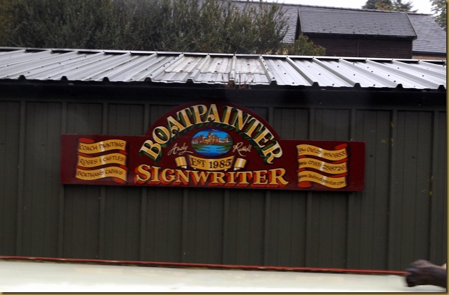
…and the well-respected Andy Russel’s paint shed.DSCF1113

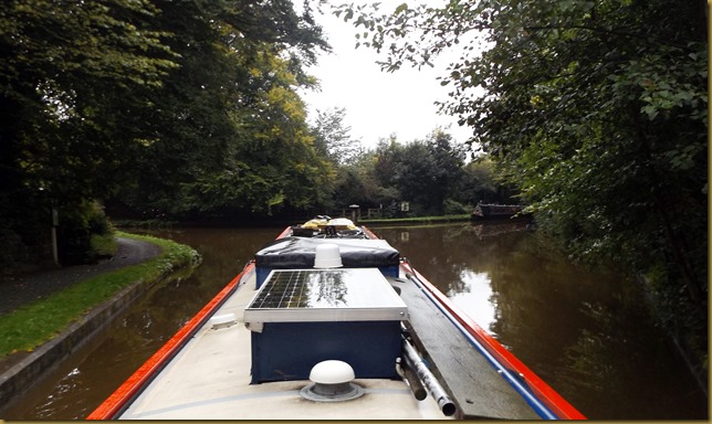
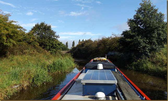
It’s a bit overgrown along here!
DSCF1116

It was just past here that we met the first of half a dozen boats, presumably leaving the basin. A bit of a surprise, it wasn’t yet 10:00, but at least we could be reasonably sure that there would be space for us.

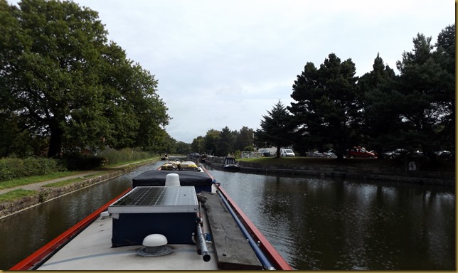
The junction at the end of the Peak Forest, a short arm to the right leads to Whaley Bridge…DSCF1118
…and another to the left goes to Bugsworth Basin.

Arriving at the basin and there’s room on the Lower Basin, alongside the access road.DSCF1120

DSCF1121
That’ll do for us, Mr. Tesco is delivering here to us tomorrow.

We were tied up with the aerial up in plenty of time to watch coverage of the Great North Run. This is the second year I’ve missed, last year due to injury, this because I didn’t enter, not being sure whether I’d recovered or not. As it turns out I’m fit enough, but the Manchester Half Marathon in October will confirm that. Well done, Sir Mo, for your fourth consecutive win here. Now he’s turned his back on the track to concentrate on road running we’ll see a lot more of him at these sort of events.

Locks 0, miles 6

Friday, September 08, 2017

Up to Marple and a change of canal.

Just up from where we’d moored for Wednesday night was where the dredgers were dumping the spoil from their activities.
DSCF1068
The nutrient-rich silt is unloaded from the barges transferred to a tipper truck then moved out onto the adjacent field to be spread by bulldozer. Not all spoil can be disposed of in this way, some sections of canal bed have been polluted by industrial processes, thankfully now illegal.

We had a couple of showers as we headed north, but nothing of any great consequence.

Passing Lyme View Marina.
DSCF1073

The Braidbar boats were out in force at Poynton, ready for the open weekend. Sheila off Sanity Again gave us a wave, but we were unable to stop, even for water as planned.

Bruce and Sheila’s 2nd Braidbar, Sanity Again.DSCF1075

It’s pleasantly wooded in sections along here, but the gloomy weather didn’t do it justice.DSCF1076

High Lane is a handy spot for shopping, with moorings either side of the main road bridge, Bridge 11.

DSCF1077The North Cheshire Cruising Club maintains private moorings on the dog-legged High Lane Arm, just to the south of the village.
The Arm was built at the same time as the canal as a wharf for transhipping goods and coal. Although now it’s a dogleg to the north after the entrance channel, it used to form a T, with the south branch linking up to tramways bringing coal from Middlewood and Norbury pits. This section was filled in around 1914. The remainder was taken over by the club in 1943.

Buxton Road, carried over the canal in the centre of the village by Bridge 11, must already have been a broad road when the canal was built. The bridge is wide, almost forming a short tunnel, and there’s no sign of it being extended so I guess it was originally built this way.DSCF1078
We pulled in not much further on, opposite what used to a deer park, the fields now occupied by cattle and horses.

Rain in the afternoon and overnight finally eased by about half-nine this morning, so we got ready to move off. Having failed to get water at Macclesfield (dredgers) and Poynton (queues) our first priority was to fill the tank at Marple.

The day started bright, but we had some showers blowing in on the breeze. DSCF1081

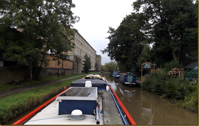
Coming into Marple the massive Goyt Mill stands alongside the canal.DSCF1083 

Built in 1905 for cotton production, the machinery was driven by steam engine, fired by coal from local collieries. The building is now occupied by several businesses…
DSCF1085
…and the roof makes a handy location for the mobile phone company masts.

There was a boat on the water point when we arrived, so we pulled up alongside the community boat on the wharf to wait. Ten minutes later we were filling ourselves.

We didn’t get totally full, another boat arrived for water and mooring opportunities are limited, with a dredger on one side and the charity boat on the other.
DSCF1089

The Macclesfield Canal ends in a narrow section that used to be a stop lock, then joins the Peak Forest Canal just above the 16 Marple Locks.DSCF1091

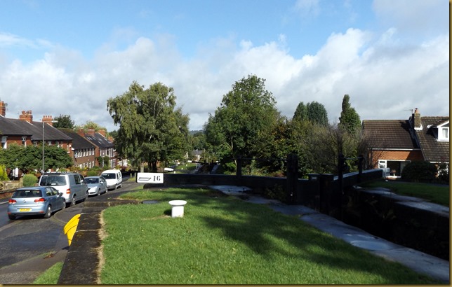
The top of Marple Locks.
DSCF1088

We turned right, away from the locks, and tried to moor on the right side just around the corner. I should have known better, we’ve tried to moor here before and failed because of the condition of the bank. We finally finished up about a half-mile from the junction, on a section of piling with just enough water to float us.

Now, while cruising along the Macc, I’ve been pondering the design of the bridges, and have decided that it’s not purely aesthetic.
DSCF1071
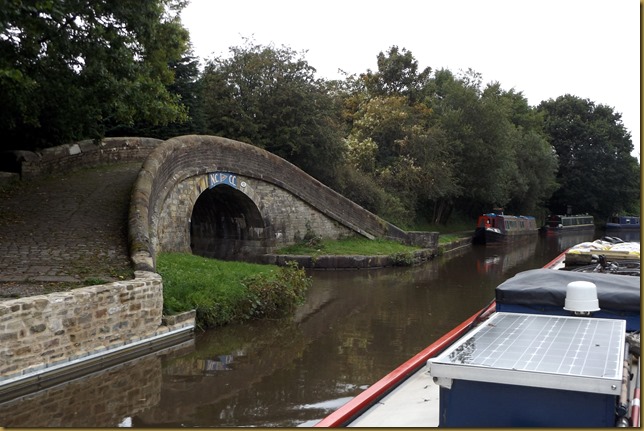
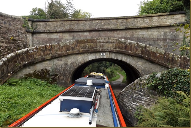
One of the big problems on canals with conventionally arched bridges is damage from boat collisions, typically under the arch on the opposite side to the towpath. However, with this design, the arch bulges away from the navigation at the point where the cabin top would strike. Although they’ve been up for nearly 190 years, I don’t think I’ve seen any that have needed repairing. Another bonus is that on the towpath side the path is widest where the towing horse would have been widest!
Thomas Telford was the surveyor and supervising engineer for the canal construction, but the Resident Engineer was the respected and experienced William Crossley. I wonder if they were to his design?

Heading towards Bugsworth tomorrow, but we may stop at New Mills. It depends on the weather.

Locks 0, miles 8

Wednesday, September 06, 2017

Busy up to Bollington.

There’s been a few boats about today, a fair proportion of them built by Braidbars up at Poynton. They’re having their annual Open Day this weekend.

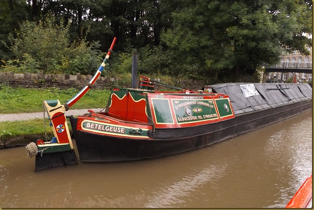
There’s another event taking place at Bollington as well, a Boat and Folk Weekend. One of the historic boats has already arrived…
DSCF1065

So, today started reasonable, a few bright periods but the cloud built up and we’ve had a couple of showers as we cruised up to Bollington.

Pleasant first thing…
DSCF1037
The canal swings out to the west of Macclesfield, avoiding the valley of the River Bollin in which it sits. At this point it’s heading towards Buxton and the eastern edge of the Peak District. But at Gurnett, as it crosses the river, it swings around to head north again.

Good moorings at Gurnett Aqueduct
DSCF1040
Past that row of cottages on the right is the mill where canal engineer James Brindley was apprenticed between 1733 and 1740. He had no hand in this navigation, of course, having died 60 years before it’s completion.

The towpath swaps sides to pass through the town, carried over Foden Bank Bridge. This is another of those delightful snake bridges, this time backed by a conventional accommodation bridge crossing the canal.
DSCF1043

Foden Bank itself rises to the right, held bank from falling into the canal by a massive retaining wall. DSCF1047
The towpath along here was closed for quite a time a few years ago to allow for rebuilding sections of the wall and building extra buttresses.

Looking across the rooftops of Macclesfield
 DSCF1045
At one time the biggest producer of finished silk in the world, it boasted 71 silk mills operating in 1832. But it’s nickname is “Treacle Town”. This refers to an historic incident in which a cart-load of barrels of treacle spilt it’s load and the townsfolk rushed out of their houses to scoop up the bounty.
On the last Sunday of each month is the Treacle Market, selling food, drink, arts and antiques.

We’d heard that dredging is in progress around Macclesfield, and we got held up for about 10 minutes by the crew working next to the maintenance yard, just south of the Hovis Mill.
DSCF1049
That wasn’t too much of a problem, but we could have done with water and the tap has been relocated from near Bridge 37 to outside the depot, yes, behind all that equipment. No chance.

Moorings in Macclesfield have always been a bone of contention, with poorly maintained banks and underwater obstructions. But CRT have gone partway to addressing the problem by installing new pontoon moorings just past Bridge 37.
DSCF1051
Room for maybe 6 boats, so that’s progress.

Just around the corner we had another short delay as more accumulated silt and rubbish were lifted from the canal bed.DSCF1053

Between Macclesfield and Bollington the views are impressive, it’s a shame the gloomy weather didn’t do them justice.
DSCF1054

There’s a long straight between Bridge 30 and 33 past the extensive Akzo-Zeneca chemical works. The missing bridges were swing bridges, now removed.
 DSCF1060

The canal through Bollington passes two mills, the first, Adelphi…

Adelphi Mill with Bollington Wharf opposite.DSCF1063

…and the large Clarence Mill, both built for producing cotton.DSCF1066

We’d hoped to moor on the embankment just south of Clarence Mill but it was full up, so we mooched on a little further and pulled in just before Bridge 26. Well, mostly. The water is shallow so the stern is stuck out a bit, but it’s only for one night.

Locks 0, miles 5½

Sunday, September 03, 2017

A night at Buglawton and a trip up Bosley Locks.

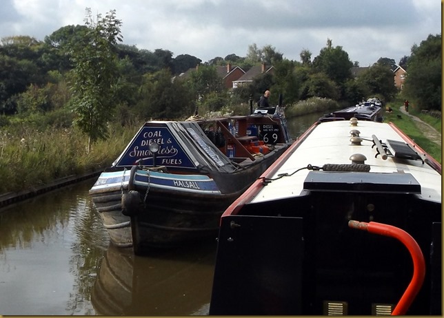
On Friday we moved the short distance from Congleton embankment, around the corner and moored up just past Buglawton, picking up water at the tap next to Bridge 68. But before we left, Martin on NB Halsall appeared around the corner, so we filled up with fuel and loaded four bags of solid fuel aboard as well.
DSCF0995 

Yours truly mooring up at Buglawton.
DSCF1003

A couple of trips to the local mini-supermarket saw the cupboards topped up to last for a few days, then we were on our way again on Saturday morning, an hour to cruise to the bottom of Bosley Locks.

It was very misty first thing, but as soon as the sun broke through it was warm, a good day for a run up the locks.DSCF1009

The River Dane passes under the canal below the locks, on it’s way to join the Weaver at Northwich. Someone’s been busy with a paintbrush, makinh the railings look smart.
DSCF1012

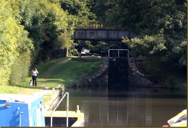
Approaching Bosley Bottom Lock.
DSCF1013

We pulled in for a brew before starting up, hoping that boats would start heading down from the top to make our lives that bit easier. But it was not to be, in fact we finished up following another boat up, and they were slower than us…

Out of the bottom lock, only another 11 to go…DSCF1014

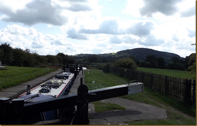
About half-way up, and The Cloud dominates the skyline.DSCF1020
At 1100 feet above sea level The Cloud is a substantial lump on the Cheshire plain, but the highest point is Shining Tor, on the Derbyshire border, rising to 1800 feet and 8½ miles to the north-east.

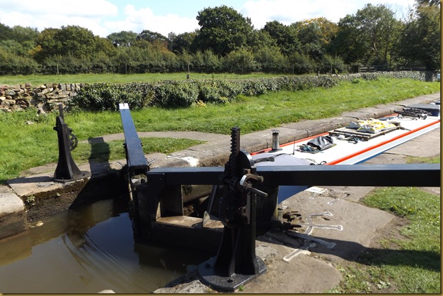
There’s a lot of walking around for the windlass-wielder on this flight. Most narrow locks have mitred gates at the bottom, and a single “clapper” gate at the top, making them easy to work from the towpath side. But these have mitres at both ends, and to make matters worse there are no footboards on the top gates. So you either have to walk around the lock to close the offside gate, or teeter your way over the balance beams.DSCF1018

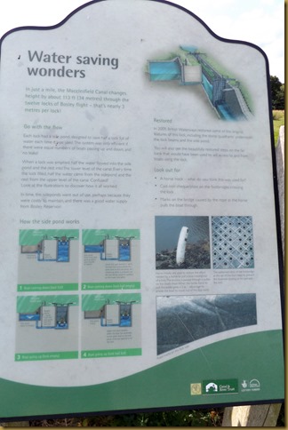
Side ponds were installed alongside the lock chambers to reduce water consumption, but they are no longer in use.
DSCF1023

An explanation of how they worked is here, but you’ll need to click on the picture to enlarge it.
DSCF1024

We started to meet boats on the way down after the half-way point, so, though not speeding things up any, at least we could leave top gates open.

The flight had taken us nearly 3 hours to ascend by the time we got to the top lock, not exactly a record. Mags got chatting to a couple out for a walk, while I disposed of the rubbish.
 DSCF1025
It turned out that Jimmy and Jen used to work on cruise liners, but now live in Macclesfield. Jimmy comes from Atlanta, but prefers it over here now.

After a half-hour chatting we pushed on, taking advantage of the fine weather, and moored just short of the Royal Oak Swing Bridge at Oakgrove.

Another short day today took us to the long length of piling next to the Lyme Green Business Park, just south of Macclesfield. We set of at 10, expecting to get through the bridge while traffic was light, but reckoned without the MG Owners Club annual charity rally.DSCF1027

They kept coming…
DSCF1028
One driver told me that there were 100 vehicles involved!

What didn’t help was the queueing to get across the main road, waiting on the bridge deck. I could have just pressed the button and stopped the flow, but I’d had an altercation with a driver here before, who thought he could cross over against the flashing lights before the barriers came down. He did, just…

There appeared a gap, so I quickly pressed the button and Mags came through as soon as there was clearance.
DSCF1029
We didn’t hold many up.

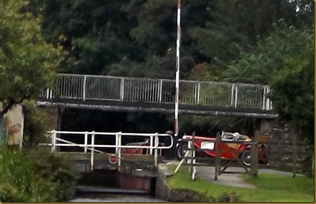
Most of the MGs were Bs or Midgets, but as we pulled away I spotted a TA (maybe?) crossing behind us. DSCF1030
Most of the pre-war roadsters look similar, especially at this distance.

Broadhurst Swing Bridge was fixed in the open position, so that saved a job, and we were tied up soon after, just as the first drops of wind-driven rain fell.

Outside the business park.
DSCF1032
Just the other side of the hedge on the left is Homebase, where I’ll get some wood to remake the narrow top box that’s coming to grief.

We were greeted by another boater’s dog, I thought he’d come to meet Meg…DSCF1034
…but he just wanted a stick thrower! He got his wish.

After yesterday’s fine sunny weather we’ve reverted to autumn, it’s been raining since we stopped.

Locks 12, miles 8 (three days)