No, not that one, that’s in March. Fifteen years ago we set off on our maiden voyage on the good ship Seyella. Doesn’t time fly! All three of us have changed, some more than others!
Ready to leave Orchard Marina all those years ago…
 The quality of the photographs has changed too!
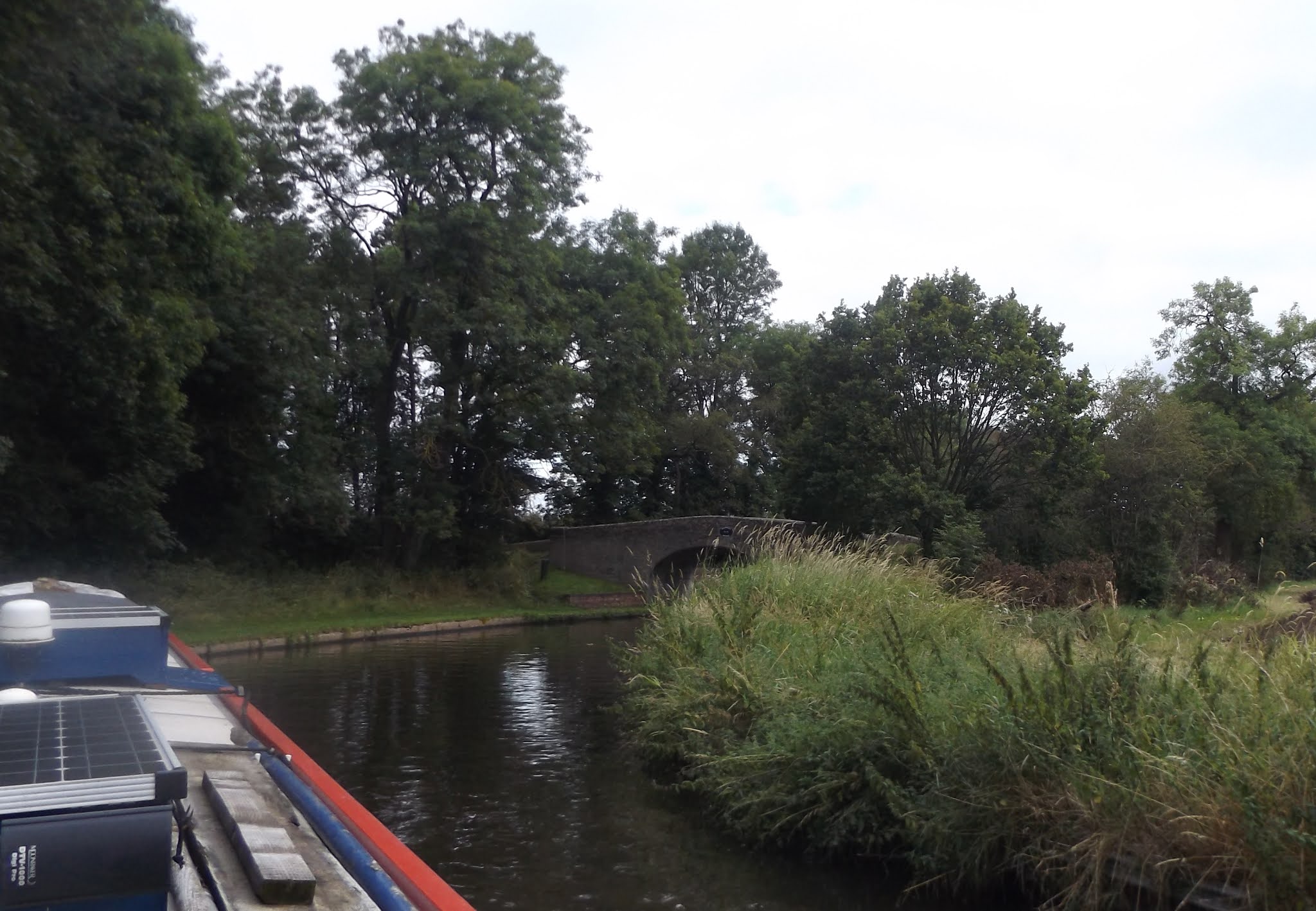
So, back to the present and we left the pleasant moorings near Hunting bridge under grey skies yesterday morning. An uneventful trip took us under the M54, past the Wolverhampton Boat Club moorings and to the end of the Shroppie where it meets the Staffs and Worcs Canal.
A dull start.
Under the M54 with Bridge 5 in the distance
Narrows near Pendeford Bridge no 4
Wolverhampton Boat Club
Leaving Lock 1, the junction stop lock with just a 4” fall.
A left turn onto the Staffs and Worcs saw us heading north again, up towards Penkridge.
Less than a mile down the canal the navigation enters what is locally known as Pendeford Rockings, a ridge of hard stone that the canal builders encountered and had to deal with. The solution was a narrow channel with passing places which must have been the scene of many disputes between working boat crews.
We’ve been through here several times, but this is the first time we’ve had to make use of one of those passing places…
After ducking under the M54 again we pulled in near The Anchor near Bridge 71.
Clever graffiti under the motorway bridge
The plan was to arrive at Penkridge on Wednesday afternoon, meeting Tony to fit the new cratch cover on Thursday. But a message yesterday threw a spanner into two easy days; he’s coming tomorrow (Wednesday) instead! So we needed to be here today. It suits us actually. On leaving here we’ll be on a mission to get over to the Soar by a week on Monday. This gives us an extra day now.
So we were on the move at half-eight this morning, a bit overcast but odd glimpses of the sun brightened things up.
The old wharf at Slade Heath.
The S&W was an early generation canal, opened in 1771, and as such followed the principal of a contour canal, sticking to one level to avoid building embankments and cuttings. This means it winds sinuously through the countryside, with lots of blind bends and bridges.
The railway running parallel to the canal covers the distance between Coven and Penkridge in 4½ miles, the navigation takes seven!
At Calf Heath the Hatherton Branch runs off to the right, once connecting through to the Coventry Canal at Huddlesford and the northern reaches of the Birmingham Canal Navigations, with branches up to the collieries at the foot of Cannock Chase. Now, following subsidence from the mining operations the connections have been lost, although the Lichfield and Hatherton Canal Restoration Trust aims to “reinstate the historic Lichfield and Hatherton Canals for the benefit of the community”.
More in hope than anticipation, I expect…
We topped up the water tank and disposed of rubbish and recycling at Gailey Wharf, then dropped down the lock, the first of five down to Penkridge. There’s another two in the town, but we moored before them.
Gailey Lock
We worked our way steadily down the locks, spaced over the next couple of miles. We were following another boat so finished up turning them all, but were able to leave the bottom gates open on the final one, Otherton.
A short way further on we arrived at Penkridge, mooring near the Cross Keys. Depending on the weather and how quickly tomorrow’s fitting takes, we’ll stay or get another hour or two cruising in.
Locks 6, miles 13.


No comments:
Post a Comment